Infrastructure
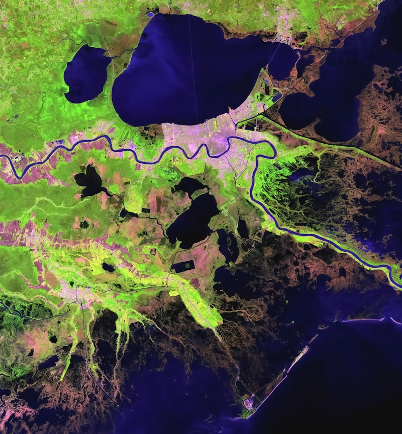
Geospoc / GovernmentFlood Risk Visualization Platform
Predictive flood risk mapping combining hydrological models, satellite data, and real-time weather feeds.
6hr
Forecast Update Cycle
85%
Prediction Accuracy
12M+
People in Coverage Zone
5
States Integrated
The Challenge
State disaster management agencies had no integrated view of flood-prone zones, drainage networks, and population density — forcing reactive, post-flood responses.
Our Solution
Developed a government disaster response platform combining hydrological models, satellite elevation data, and real-time weather feeds into a single predictive risk map updated every 6 hours.
Interested in a similar solution?
Tell us about your project and we'll find the right approach together.
Talk to an Expert